


Milburn Precinct, Custer County, Nebraska
About
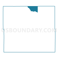
Outline

Summary
| Unique Area Identifier | 612656 |
| Name | Milburn Precinct |
| County | Custer County |
| State | Nebraska |
| Area (square miles) | 45.49 |
| Land Area (square miles) | 45.47 |
| Water Area (square miles) | 0.03 |
| % of Land Area | 99.94 |
| % of Water Area | 0.06 |
| Latitude of the Internal Point | 41.70211860 |
| Longtitude of the Internal Point | -99.63742610 |
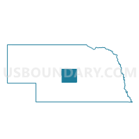
Maps

Graphs
Select a template below for downloading or customizing gragh for Milburn Precinct, Custer County, Nebraska


Neighbors
Neighoring Voting District (by Name) Neighboring Voting District on the Map
- Blaine Precinct, Blaine County, NE
- Lillian Precinct, Custer County, NE
- Sawyer Precinct, Loup County, NE
- Victoria Precinct, Custer County, NE
- West Union Precinct, Custer County, NE
Top 10 Neighboring County Subdivision (by Population) Neighboring County Subdivision on the Map
- Victoria township, Custer County, NE (372)
- Madison Square precinct, Loup County, NE (182)
- Brewster precinct, Blaine County, NE (181)
- Lillian township, Custer County, NE (150)
- West Union township, Custer County, NE (75)
- Milburn township, Custer County, NE (55)
Top 10 Neighboring Unified School District (by Population) Neighboring Unified School District on the Map
- Anselmo-Merna Public Schools, NE (1,172)
- Sargent Public Schools, NE (998)
- Loup County Public Schools, NE (639)
Top 10 Neighboring State Legislative District Upper Chamber (by Population) Neighboring State Legislative District Upper Chamber on the Map
Top 10 Neighboring 111th Congressional District (by Population) Neighboring 111th Congressional District on the Map
Top 10 Neighboring Census Tract (by Population) Neighboring Census Tract on the Map
- Census Tract 9717, Custer County, NE (2,721)
- Census Tract 9728, Loup County, NE (632)
- Census Tract 9724, Blaine County, NE (478)